GPR Technology Uses In Archaeology
The Württemberg-Stambol Gate
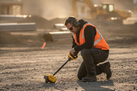
Ground Penetration Radar (GPR) has allowed us to see through a medium to discover anomalies inside. It is easy, then, to imagine the uses of GPR in Archaeology. Unsurprisingly, numerous areas of historical interest have been inspected using this technology, leading to consistently positive results.
Researchers in Belgrade, Serbia, used GPR to discover the remains of the Württemberg-Stambol Gate, during renovations to the area. The original was built in 1725 for defence purposes by the Austrians, and named after Charles Alexander, the Duke of Württemberg. This gate was demolished after a truce in 1740, and no illustrations remain of the original. A second gate was made by the newly- residential Ottomans (using a different set of foundations extremely close to the original) and was the largest and most impressive of the city’s gates. It was called the Stambol Gate and lasted until 1866.
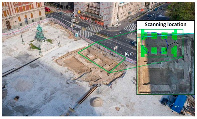
The remains of the foundations were found three separate times, in 1928, 1949 and again in 2019. GPR was used in 2019 to confirm historical reports of the location of the remains, which were very close to numerous urban construction projects. The remains were excavated after numerous scans of the area produced a 3D model estimating the shape of the site, which matched the historical data. The paper in which this project was recorded contains the following comment: “In the opinion of the authors, GPR should be incorporated as a routine field procedure in construction and renovation projects involving historical cities.”
Alaskan Arctic Investigation
Alaskan researchers also implemented GPR in tests to investigate numerous places of interest near the Arctic Circle. Previous tests of sub-surface analysis in the 1960’s proved to be largely unsuccessful due to unrefined geophysical surveying technology. Even in more modern times, the Alaskan Arctic proved to be a difficult area to survey. The frozen climate, paired with seasonal changes, leads to the ground having both frozen and thawed layers. This interacts with and distorts GPR results, as ice and water have surprisingly different interactions to the radar signals.
Even so, GPR was used in analysing buried house remains, tribal gravesites and even speculating where the bones of a woolly mammoth lay at the bottom of a lake. The researchers also commented on the usefulness of GPR and mentioned that a combination of geophysical methods would work best in the harsh conditions of the Alaskan Arctic.
Buckland Rings, United Kingdom
GPR was also used to analyse the subsurface of the Buckland Rings, a hillfort from the Iron age in England. A hillfort was a small village or encampment built on higher ground to aid in defence- the enemy would have to fight uphill to invade the settlement. The Buckland Rings are named so because of the noticeable layers of earth acting as the ring’s perimeter, well preserved for their age.
Scans of the top region (presently a flat, grassy area) revealed many geometric patterns beneath. Circles of varying size littered the scanned area, indicating a sizable number of dwellings and “roundhouses”. Several short, linear structures were also detected in the ground. These structures indicated walls or buildings, which were close by some clearly defined pathways below ground. The geometry of the linear structures poses some interesting contrast- some are seemingly on top of each other. This could imply multiple settlements over a long period of time, an insight into the Buckland Rings not seen before.
GPR’s potential in the field of archaeology is highly promising. The rapid development of this technology makes the investigation of historical areas many times more efficient, without ever risking damage to the monuments below. To learn more about these three case studies, check out the links below:
The Württemberg-Stambol Gate:
https://www.ncbi.nlm.nih.gov/pmc/articles/PMC7037787/
Alaskan Arctic investigations:
https://www.mdpi.com/2072-4292/8/12/1007
The Buckland Rings:
https://nfknowledge.org/wp-content/uploads/2018/11/Buckland-Rings-GPR-Report-V4.pdf
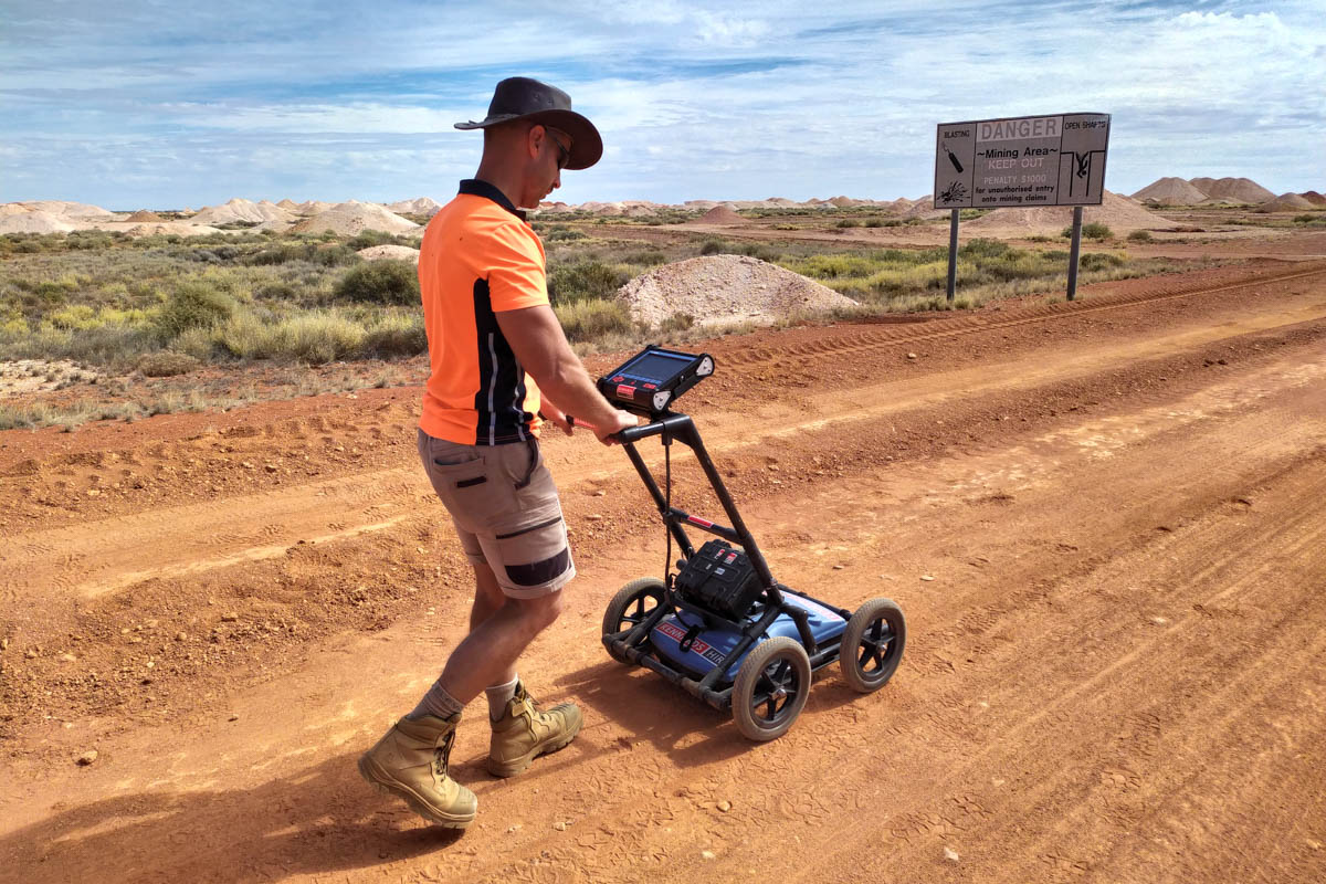
South-East Scanning technicians will be heading to outback Queensland in the coming weeks to conduct a series of surveys, using GPR to detect and locate Indigenous burial grounds. These case studies provide fascinating insights into some of the different ways that GPR technology can be applied on projects that differ from cable and pipe locating.