Have you been hearing about drone surveying, but aren’t sure what it is or the advantages it provides? If so, this post will provide you with a comprehensive explanation of what exactly drone surveying is and why it has become an essential tool for professionals in many industries. By pinpointing its benefits and capabilities, we’ll help you understand why drones are increasingly becoming the go-to solution for efficient aerial data collection across various sectors. Read on to discover how new advancements in UAV technology can greatly improve site surveying outcomes!
What Is Drone Surveying?
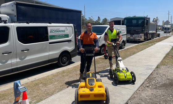
Drone surveying is a process of collecting data and creating high-resolution maps or 3D models using drones equipped with cameras, LiDAR sensors, and other specialised technology.
It allows for quick and accurate data collection over large areas that are difficult or unsafe to access on foot or by traditional surveying methods.
Drone scanning has applications in various industries, including construction, agriculture, environmental monitoring, archaeology, and surveying.
In construction, drone scanning can provide accurate measurements of sites and structures, detect potential hazards, monitor progress, and create detailed models for design and planning.
In agriculture, it can help with crop monitoring, yield prediction, irrigation management, and soil mapping.
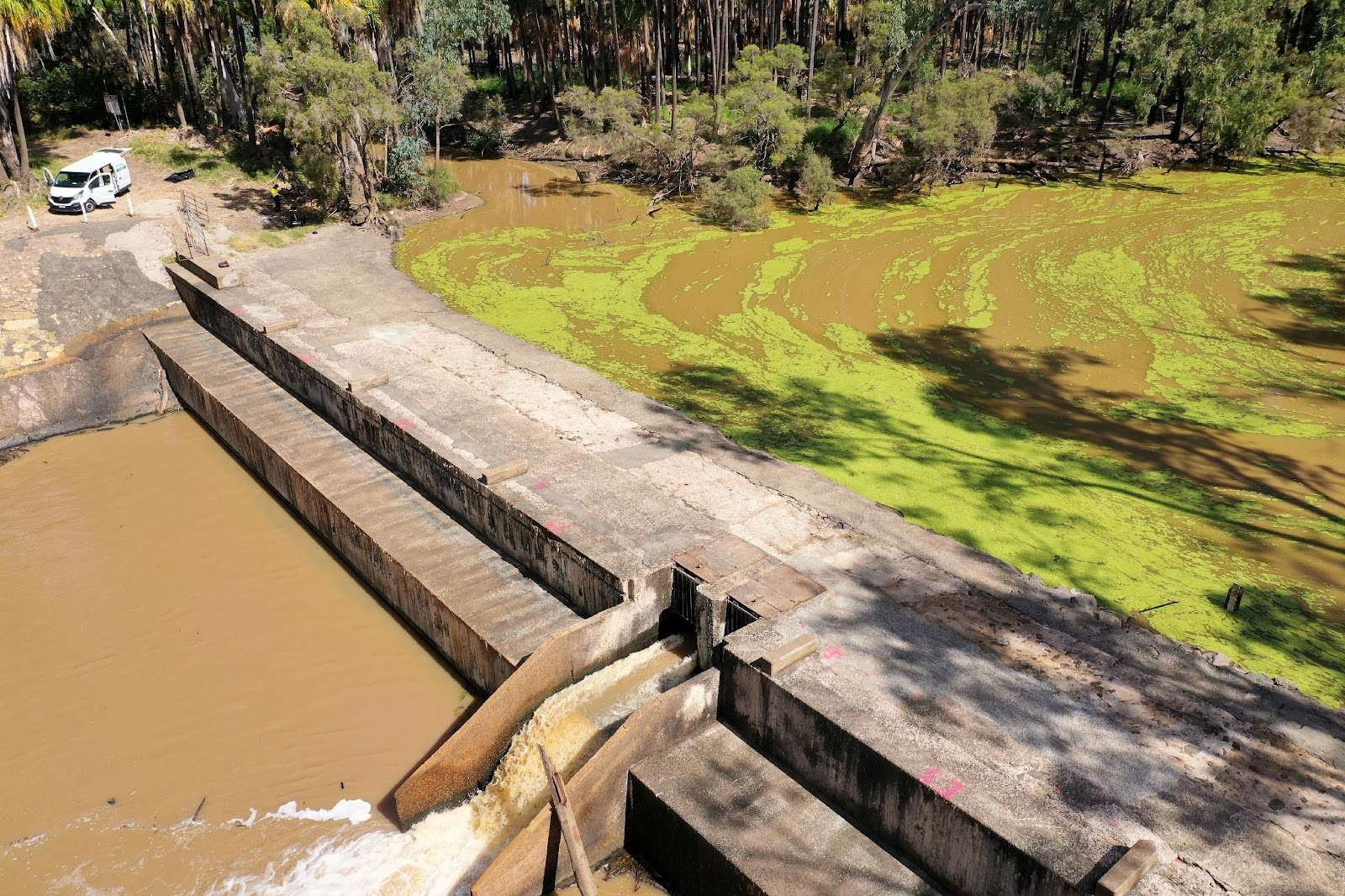
In environmental monitoring, drone scanning can track changes in vegetation, monitor wildlife populations, detect pollution, and assess the impact of natural disasters.
Drone scanning can be more cost-effective and time-efficient compared to traditional surveying methods, particularly when dealing with large or hazardous sites.
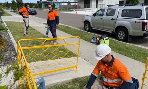
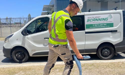
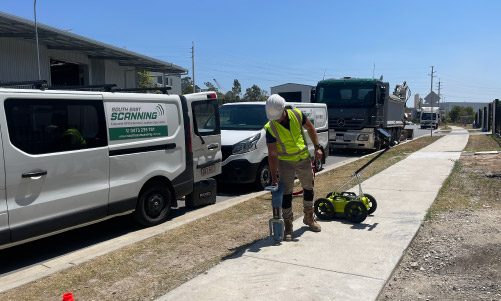
However, considering the complexity of the technology, drone scanning requires skilled operators and adherence to safety regulations to avoid accidents and damage to equipment.
Benefits Of Drone Surveying
- Provides high-quality and accurate data for various industries such as agriculture, construction, and surveying.
- Efficiently and effectively captures images and topography data, allowing for better monitoring and analysis of areas that may be hard to access.
- Increases worker safety by removing the need for personnel to climb or work in hazardous environments.
- Reduces costs associated with manual data collection, as well as decreases time and labour required for mapping and inspections.
- Offers faster turn-around times for data analysis compared to traditional surveying methods.
- Enables real-time monitoring and analysis, improving decision-making processes and increasing responsiveness to changes and events.
- Provides a visual and comprehensive understanding of environmental landscapes, including measuring water levels and identifying areas prone to flooding.
- Enables more streamlined maintenance processes by locating and identifying potential issues before they become costly problems.
- Allows for continuous data collection, creating a historical record of changes and patterns that can be used to inform future planning and decision-making.
Drone Surveying Capabilities
- Drones are equipped with sensors that allow them to capture aerial images and collect data for various industries.
- They can capture high-resolution images and videos of vast areas quickly, providing an efficient and cost-effective means of data collection.
- Drones can be equipped with various types of sensors, including LiDAR, thermal imaging, and hyperspectral imaging, allowing them to capture data beyond what is visible to the naked eye.
- LiDAR sensors can provide 3D maps of terrain and infrastructure, which are useful for construction and infrastructure management.
- Thermal imaging sensors can detect heat signatures, making them useful for search and rescue missions, firefighting, and wildlife monitoring.
- Hyperspectral imaging sensors can capture data across multiple wavelengths, enabling them to identify mineral resources, monitor vegetation health, and detect pollution.
- Drones can be programmed to fly specific paths, capture data at regular intervals, and adjust their altitude and speed to optimise data capture.
- They are useful for various industries, including agriculture, construction, mining, oil and gas, and environmental management.
- Drones can provide accurate and up-to-date information in real-time, enabling organisations to make informed decisions quickly.
- They can operate in hazardous environments, reducing risks to human workers.
- The data collected by drones can be processed using various tools, including machine learning and artificial intelligence, to extract valuable insights and improve decision-making processes.

Are There Any Downsides To Drone Surveying?
While drone surveying has gained popularity in recent years, there are still several downsides to this method. One of the most prominent drawbacks of drone surveying is its limited battery life, which restricts the amount of time it can be operated before being recharged. Moreover, drones can be sensitive to bad weather conditions, such as strong winds and heavy rain, which can reduce their accuracy and make them less effective. Additionally, drone surveying can generate large amounts of data, which requires significant time and resources to process and analyse, making it expensive. Furthermore, privacy concerns are also raised when drones are flown over residential areas, with the potential to capture sensitive or personal information. Finally, drone surveying also requires professionally trained operators, which adds more to its costs and complexity. Despite these shortcomings, however, the advantages of drone surveying such as its high accuracy, flexibility, and speed make it a powerful tool for various applications.
Who Conducts Drone Surveying?
Drone surveying is typically conducted by a team of professional drone pilots and surveyors, who are trained and certified in the use of advanced drone technology and surveying techniques. These individuals work together to plan and execute drone surveying missions, which involve flying high-powered drones equipped with specialised cameras and sensors over designated areas of land and collecting large amounts of data and imagery. The data collected by these drones are then processed by skilled analysts and surveyors, who use advanced software and tools to create detailed maps, models, and visualisations of the land and its features.
Conclusion
All in all, drone surveying technology can help a variety of industries move forward at a faster pace. With its advantages such as cost-efficient operations and increased safety for surveyors, it makes sense why an ever-increasing number of organisations are now opting for this new form of surveying. But when all is said and done, the decision to implement drone technology lies in the hands of the surveyor – after all, one must consider the project requirements and identify if there’s a need to utilise drone technology. Understanding what new equipment can do before embarking on any project can not only save time and money but also prevent any unexpected surprises along the way. Who knows? Maybe with further development and new features that make use of advanced hardware or because of certain regulatory support, drone surveying will be ubiquitous within many industries soon enough. Contact the team at South East Scanning for more information!