There's an invisible world beneath our feet, an intricate tapestry of soils, rocks, and structures, where life's foundations and countless historic narratives are preserved. Exposing these hidden layers has long been an enigma, yet modern technology is turning the tide. Ground Penetrating Radar (GPR) is at the forefront, offering a window into the earth, aiding a range of disciplines from environmental engineering to geospatial analysis. In this detailed look into GPR's environmental impact, we will explore its prowess in uncovering critical data, from soil moisture analysis to the detection of buried archaeological treasures.
Introduction to Ground Penetrating Radar
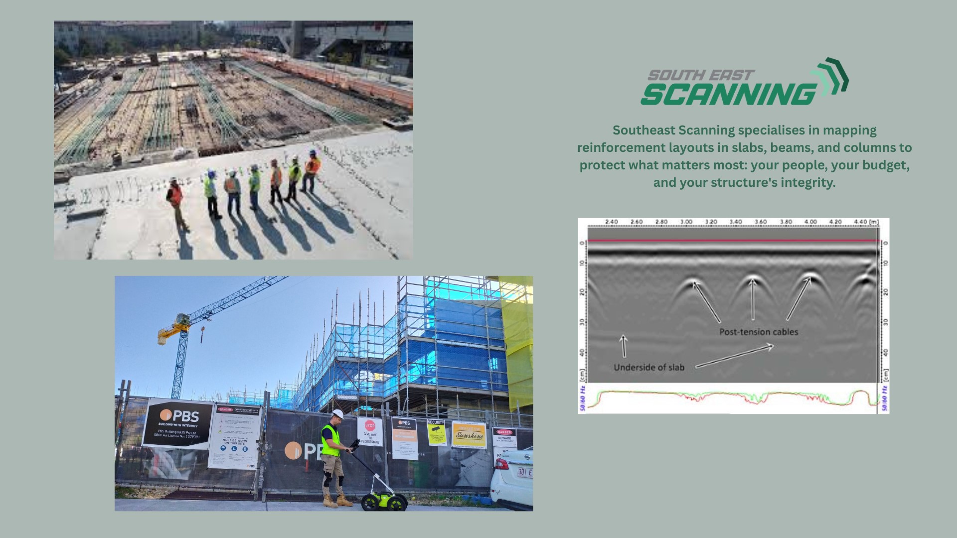
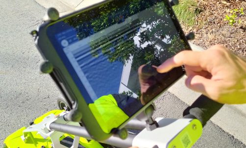
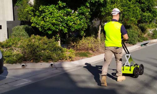
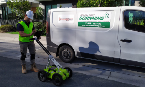
Ground Penetrating Radar is a non-invasive geophysical method that employs radar pulses to image the subsurface. By emitting electromagnetic radiation into the ground, GPR systems can detect reflections off various subsurface structures or material interfaces, creating a profile that professionals can interpret for a multitude of environmental purposes. GPR has found extensive use not only within the geophysical community but also in cross-disciplinary fields like environmental engineering and soil science. Its non-destructive method, coupled with high resolution and depth penetration abilities, render GPR an invaluable tool for sustainable development and environmental management, where the integrity of natural resources is a paramount concern.
GPR in Environmental Engineering: Mapping the Unseen Terrain
Subsurface Mapping for Site Characterization
In the realm of environmental engineering, Ground Penetrating Radar (GPR) serves as the cartographer of the hidden landscape, providing invaluable insights into subsurface conditions. By utilising advanced technology to create detailed three-dimensional images, GPR enables comprehensive site assessments, playing a crucial role in the planning and execution of construction projects, landfills, and the remediation of contaminated sites. Its ability to penetrate beneath the surface unveils a wealth of information, ensuring informed decision-making and contributing to the sustainable development and preservation of our environment.
Detection of Underground Infrastructure
Utilities such as pipelines, cables, and buried storage tanks are vital for various industries, providing essential services that support our daily lives. However, due to their hidden nature, they pose significant risks and challenges during construction activities. Ground Penetrating Radar (GPR) technology comes to the rescue by accurately distinguishing the precise location and depth of these critical services. By preventing inadvertent damage, GPR ensures the smooth progress of construction projects, safeguarding both infrastructure and workers.
Monitoring Groundwater Contamination
When groundwater becomes a cauldron of various pollutants, ranging from industrial chemicals to agricultural runoff, the clean-up process becomes a monumental task. Ground Penetrating Radar (GPR) technology comes to the rescue by accurately locating the extent and flow of contamination plumes beneath the surface. This valuable information enables environmental experts to devise better management and remediation strategies that are not only cost-effective but also sustainable in the long run, safeguarding the health of our ecosystems and communities.
GPR in Soil Science: Peering Beneath the Surface
Soil Moisture Analysis
Having a comprehensive understanding of soil moisture is of utmost importance for various reasons. It not only helps in optimising irrigation practices but also plays a vital role in assessing the risks of waterlogging and predicting land subsidence. By utilising Ground Penetrating Radar (GPR), which possesses the capability to differentiate between dry and moist soil, we can gather critical data that is instrumental in making accurate determinations related to irrigation, waterlogging risks, and land subsidence. Embracing this technology empowers us to make informed decisions and ensure efficient resource management.
Soil Structure and Compaction Assessment
Soil compaction, a common issue, significantly hinders root growth and water infiltration, thereby adversely impacting ecosystems and agricultural lands. Ground Penetrating Radar (GPR), a non-destructive geophysical technique, can effectively characterise soil layers and accurately identify compacted zones. This invaluable information is crucial for implementing targeted measures to improve soil health and promote sustainable land management practices.
Mapping Soil Composition
Ground Penetrating Radar (GPR) is an invaluable tool that assists in accurately discerning and analysing variations in soil type and composition. This information is crucial for effective land use planning, enabling precision farming techniques, and implementing carbon sequestration strategies to combat climate change. By providing a deeper understanding of subsurface conditions, GPR empowers decision-makers to make informed choices and optimise resource allocation for sustainable agricultural practices and environmental stewardship.
GPR in Geospatial Analysis: Beyond Soil and Engineering
Mapping and Monitoring Land Cover Changes
The Earth’s surface, a dynamic entity, is in a perpetual state of evolution. In order to effectively monitor and safeguard these changes, particularly in delicate ecosystems, there is an urgent need for comprehensive observation. Ground Penetrating Radar (GPR), when combined with other geospatial tools, provides a robust means to meticulously track transformations and assess their corresponding environmental impacts over an extended period of time. By employing this integrated approach, we can gain a deeper understanding of the intricate workings of our planet and work towards its sustainable future.
Identification of Buried Archaeological Sites
Archaeology, a fascinating field, often requires meticulous digging, unearthing the echoes of history while facing the challenge of potential damage to delicate remains. However, with the advent of Ground Penetrating Radar (GPR), archaeologists now have an innovative alternative at their disposal. GPR enables the detection of hidden cities, ancient tombs, and invaluable artefacts without the need to disturb the soil, preserving the integrity of these precious archaeological sites. This revolutionary technology has revolutionised the way we explore and understand our past.
Assessment of Coastal Erosion
Coastal regions, with their delicate ecosystems and human settlements, face a growing vulnerability to erosion, especially as climate change continues to exacerbate the rise in sea levels. In this context, Ground Penetrating Radar (GPR) emerges as a valuable tool that can meticulously analyse the subsurface conditions, detecting subtle signs of erosion. By employing GPR technology, experts can gain deeper insights into the dynamics of coastal erosion, aiding in the effective assessment and implementation of protective measures for these vital coastal areas.
Conclusion: Unveiling New Horizons with GPR
The applications of Ground Penetrating Radar across environmental disciplines are wide-ranging and growing. Its non-destructive and high-resolution capabilities present a game-changer for those vested in preserving and understanding the Earth’s delicate balance. From the detection of environmental hazards to archaeological wonders and agricultural strategies, GPR is a cornerstone technology, ushering in a more informed and conscientious approach to environmental studies. As research and technology continue to advance, the potential for GPR to further enhance our environmental understanding remains as deep and uncharted as the earth it helps to reveal.