Unearthing History Without A Shovel.
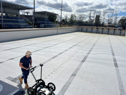
Imagine being able to reveal the layout of a long-lost foundation, buried road, or forgotten settlement without ever turning a spade. That’s precisely what ground-penetrating radar (GPR) enables for archaeologists and heritage managers: a non-invasive way to “see” beneath the ground with precision and care.
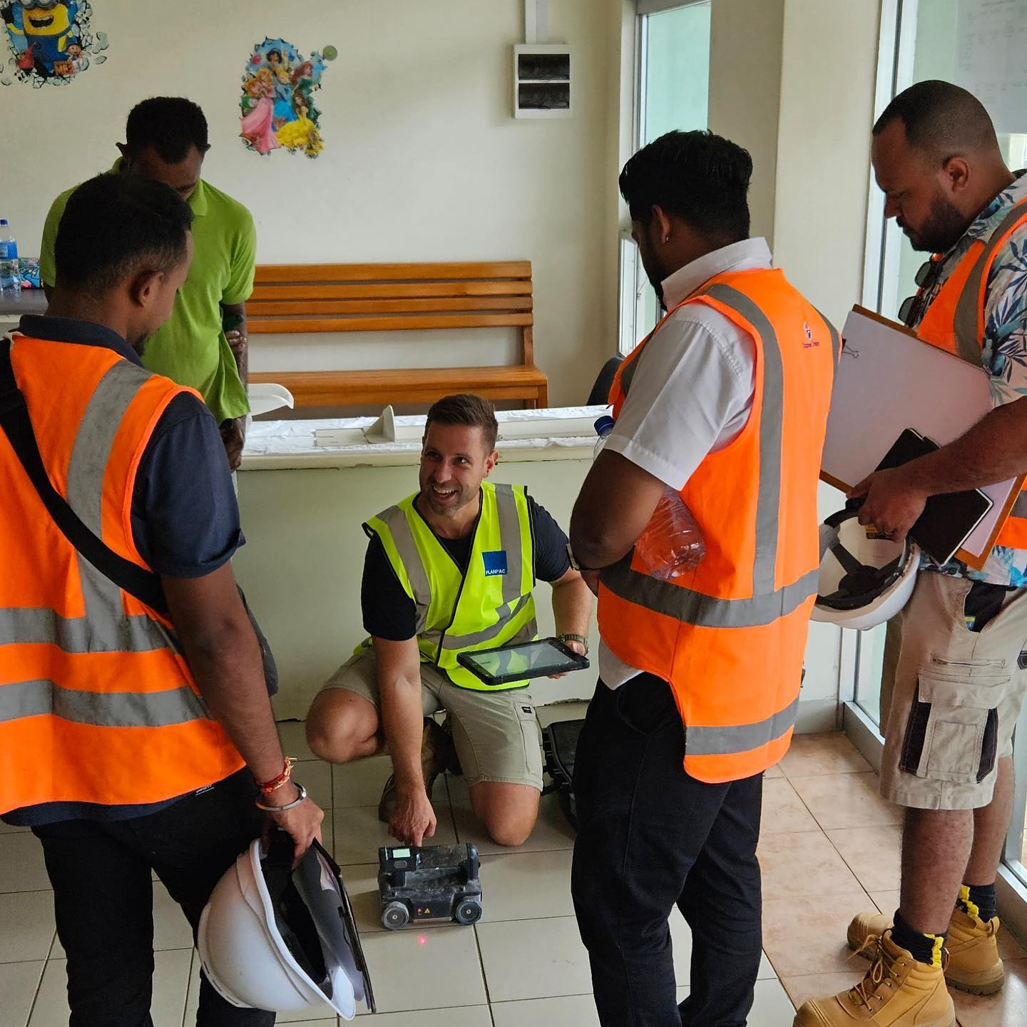
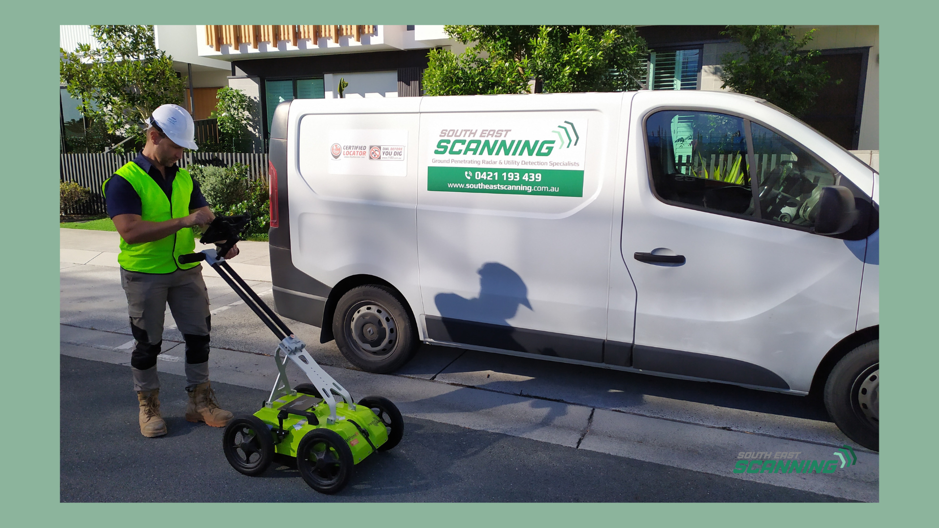
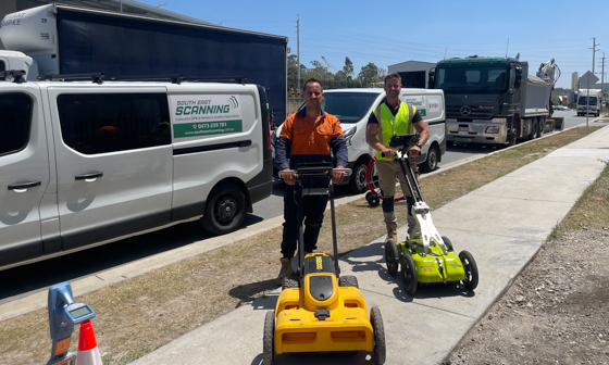
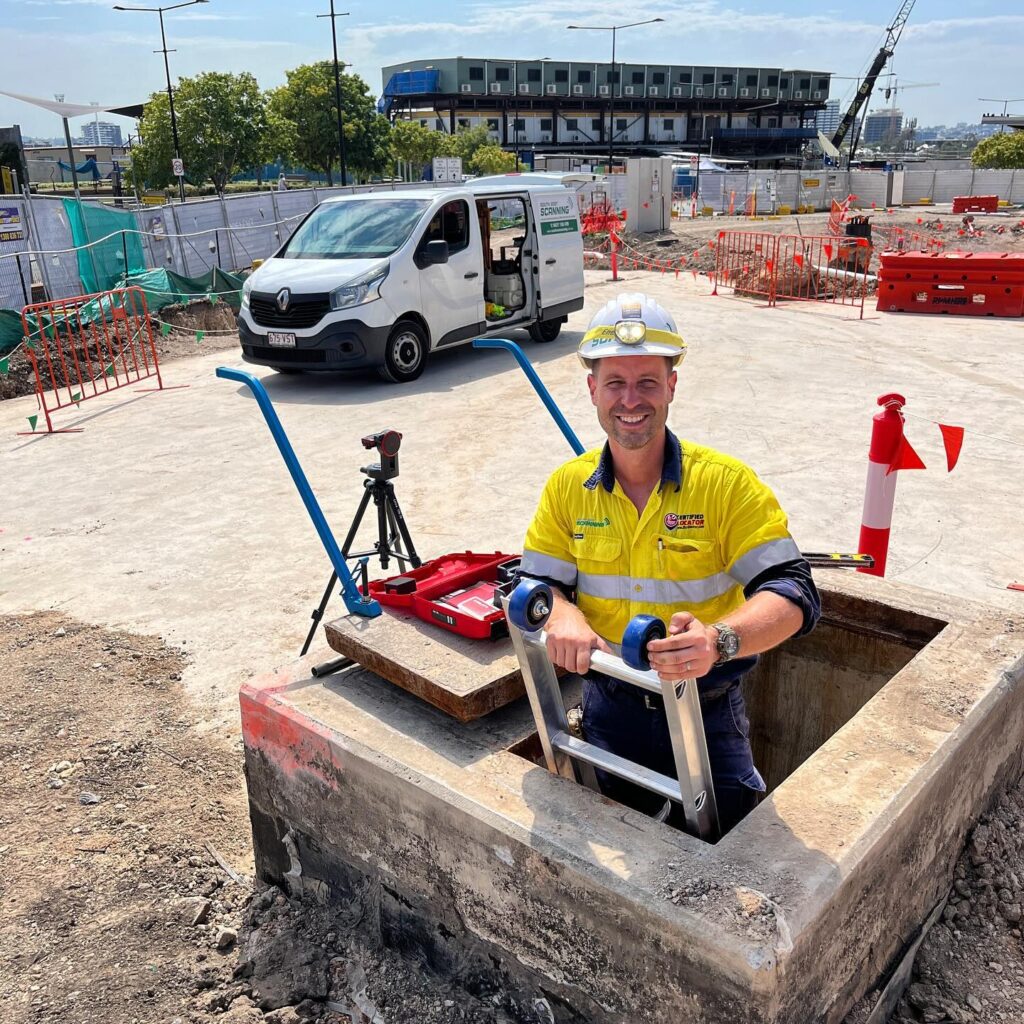
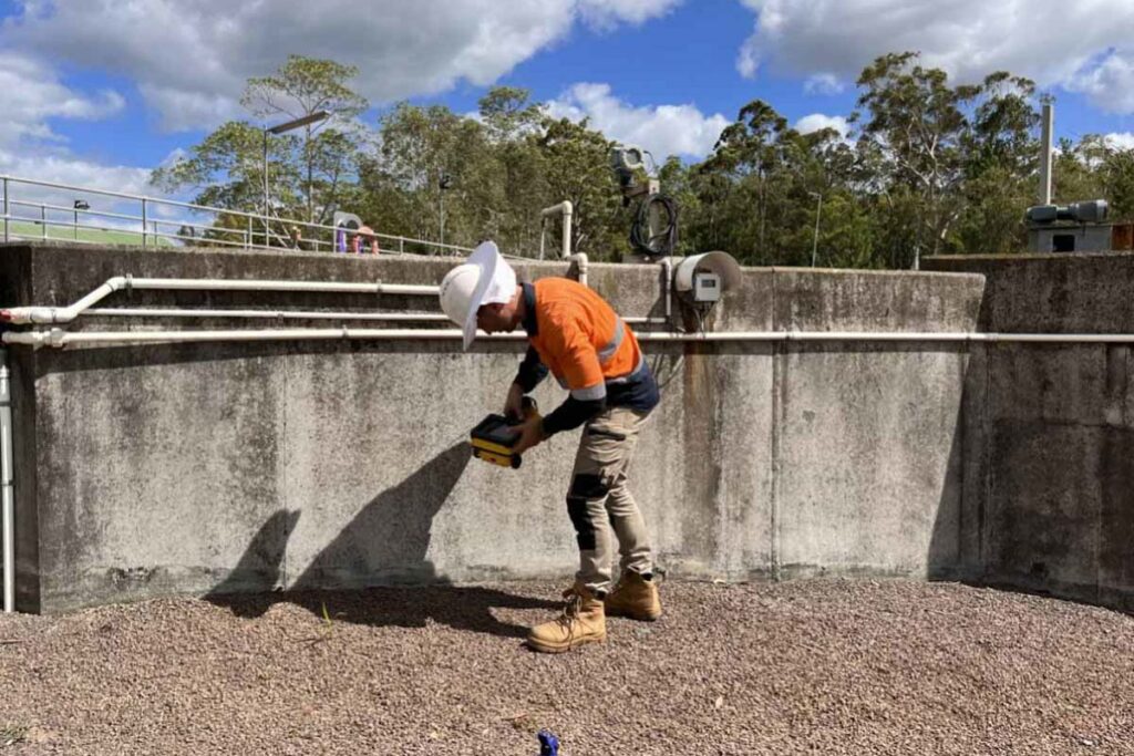
At South-East Scanning, while much of our work focuses on construction, utilities and asset management across Brisbane, the Gold Coast and Sunshine Coast, we’re also proud to support archaeology and heritage-site surveys where accurate subsurface data is critical to preservation, planning and decision-making.
Why GPR is a Game-Changer for Archaeology
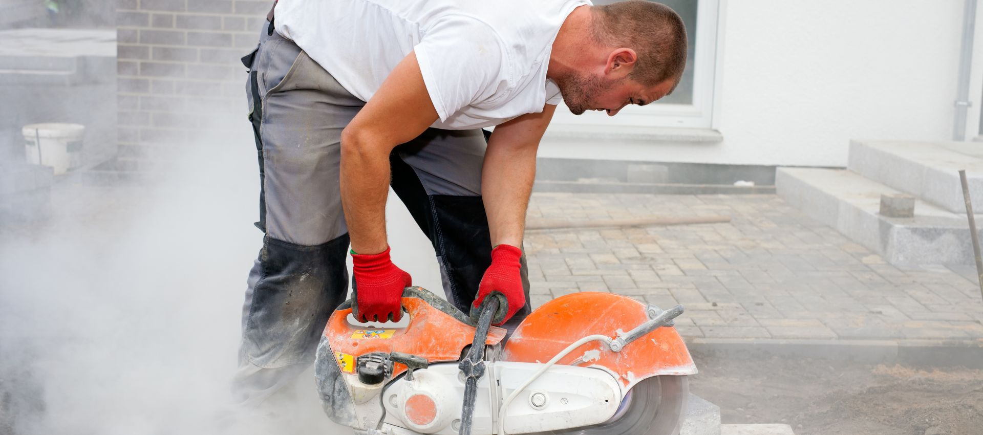
Traditional excavation methods are time-consuming, costly, and often disruptive. What’s more, in heritage sites or Indigenous cultural landscapes, excavation may not be permissible or desirable. Enter GPR:
- It offers high-resolution imaging of features hidden beneath the surface.
- It provides actual depth information and spatial context – unlike many other geophysical methods.
- Crucially, it preserves the site’s integrity while still enabling the mapping of buried foundations, old walls, roads and voids.
Whether you’re working around ancient habitation layers, buried colonial infrastructure, or recent legacy remediations, GPR gives you a snapshot of what lies beneath – with no digging required.

What We Can Detect
In practical terms, our GPR surveys can help detect:
Hidden stone or brick foundations, footings, or walls long since covered by soil or development.
Buried road surfaces, pathways or service trenches from previous eras.
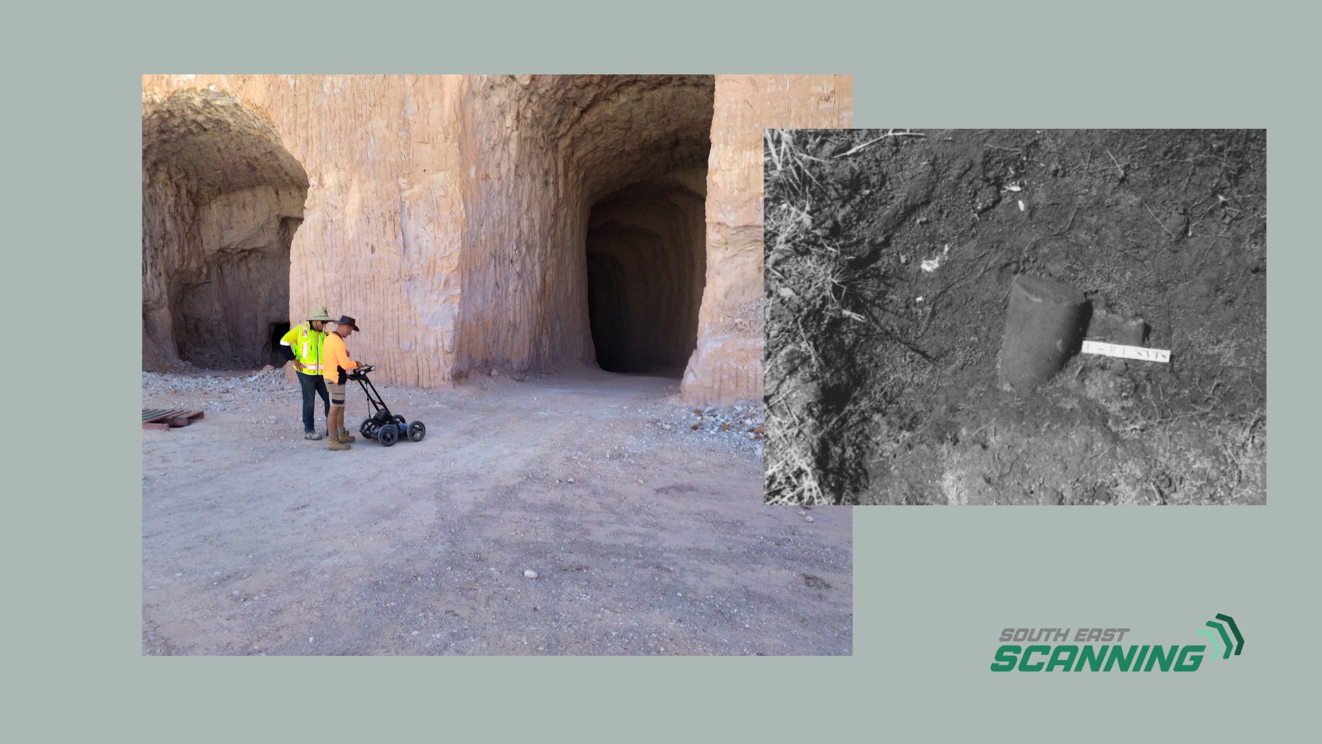
Sub-surface voids or tunnels, which may be part of older settlement infrastructure.
Changes in soil layering or compacted fill - indirect indicators of past human activity or abandoned structures.
These capabilities mean that when a developer is about to build in a historically rich area, they can plan for what’s there, rather than discovering it the hard way.
A Real-Life Case: Mapping Foundations Under Development
In one heritage zone outside Brisbane, an upcoming residential subdivision sat atop a known historical settlement site. Historical records suggested the presence of old footings, but the
exact layout was unknown. By conducting a GPR grid over the site, we identified several rectilinear anomalies just below the surface – consistent with the footprint of former buildings.
These findings allowed the heritage consultant to flag these zones, adjust site planning accordingly, and minimise disturbance of the vestigial foundations. The result? A balanced approach that supported development while preserving cultural heritage.
Best Practice: How We Conduct Archaeological GPR Surveys
Because archaeological sites vary widely – from sandy coastal deposits to clay-rich inland soils – we tailor our equipment and frequency selection accordingly. Our methodology for archaeology-oriented GPR scans includes:
1
Pre-Survey Research
Review of historical records, aerial imagery and past site maps.
2
Grid Survey
On the ground, systematically recording radargrams to cover the entire area of interest.
3
Multi-Frequency Scanning
Adjusting the antenna based on the depth of interest and soil conditions.
4
Data Processing And Interpretation
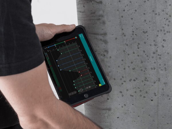
Generating depth slices and plan-view maps that highlight anomalies.
5
Reporting And Reccomendations
Including annotated maps that provide actionable guidance to archaeologists and heritage managers.
Why Choose South-East Scanning for Archaeological Projects?
While many service providers focus on utilities or construction, our experience in non-destructive subsurface technology means we bring a high level of expertise to heritage and archaeological investigations as well. We have:
- Skilled operators trained in GPR best practices and heritage sensitivity.
- The ability to deliver clear, annotated maps and depth-sliced visualisations.
- Experience working across South East QLD’s varied terrain - coastal zones, inland estates, and urban redevelopment sites.
- Whether the task is identifying buried colonial infrastructure in Gold Coast developments or mapping pre-colonial settlement features on the Sunshine Coast hinterland, we bring real-world experience and sensitive handling.
The Benefits for Heritage, Development and Planning
In short, using GPR for archaeology means:
- Reduced need for large-scale excavation – less cost, less disruption.
- Better planning decisions – knowing what lies beneath means fewer surprises.
- Balanced outcomes that support both development and heritage preservation.
- Compliance with heritage regulations and improved stakeholder confidence.
- In an environment where time, budget and cultural sensitivity matter, GPR offers a practical, innovative solution.
Final Thought
When it comes to uncovering what lies beneath – be it ancient footings, colonial foundations or forgotten roads – GPR enables you to map the past without disturbing it. At South-East Scanning, we’re proud to apply our subsurface expertise to heritage contexts, helping clients move forward with insight, respect and precision.
If you’re involved in a site with historical or cultural significance and need to understand what lies beneath before planning begins, let’s talk.
Discover how our Ground Penetrating Radar solutions can support your next project.