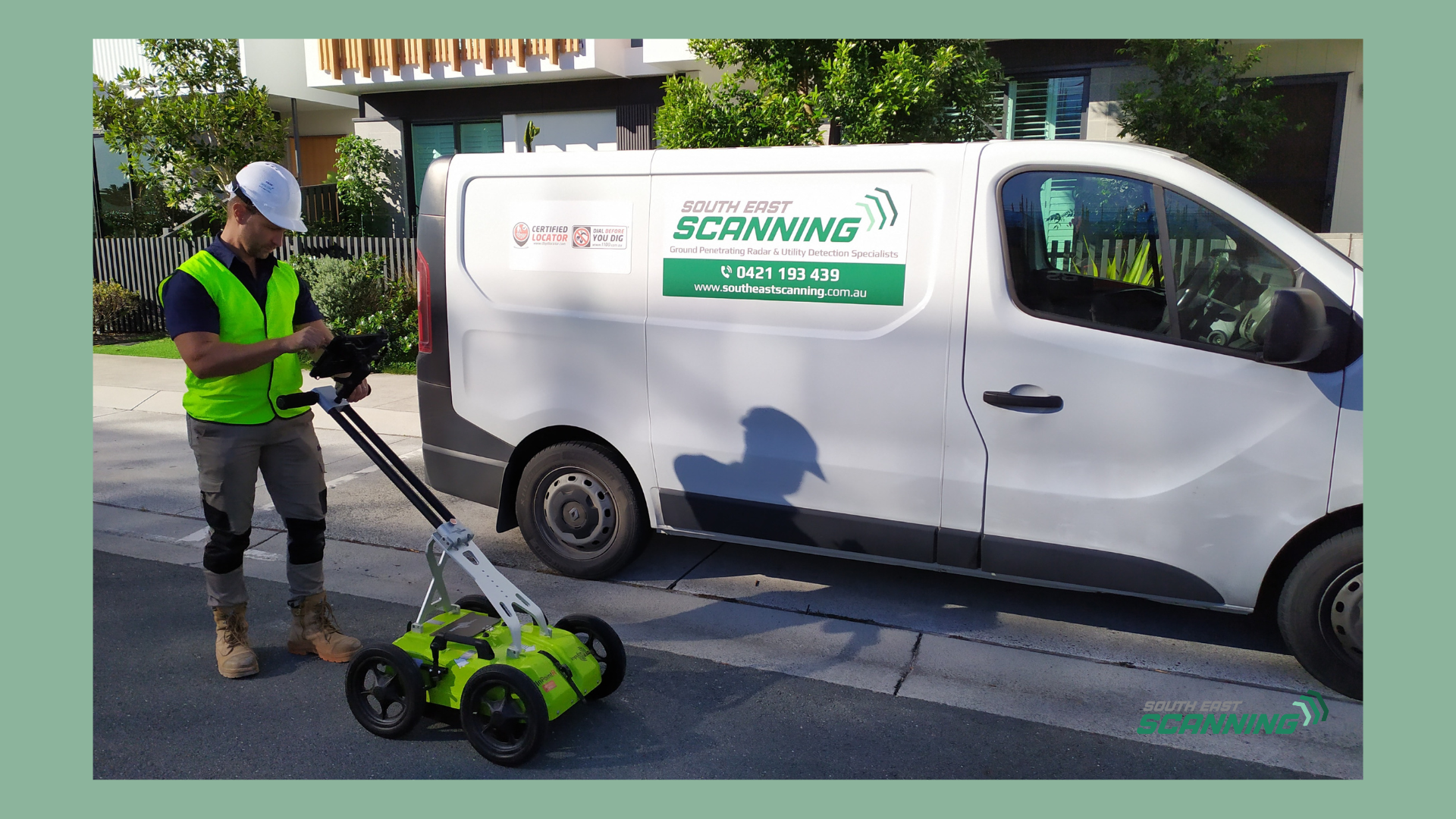
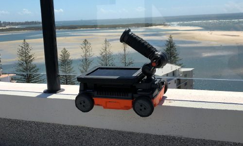
The future of subsurface scanning is intelligent, automated, and incredibly accurate. For decades, ground-penetrating radar (GPR) has been the go-to tool for non-destructive subsurface imaging. From detecting rebar and post-tension cables to mapping buried utilities and voids, GPR has become indispensable in construction, infrastructure, archaeology, and environmental engineering.
Yet one of the longstanding challenges of GPR has been interpretation. Radargrams are dense, noisy, and complex. Reading them accurately requires extensive training, experience, and a fair bit of educated guesswork. Even among professionals, results can vary depending on soil conditions, antenna frequency, and interpretation skill.
But that’s beginning to change. Artificial Intelligence (AI) and Machine Learning (ML) are now being integrated into GPR systems, redefining how we interpret radar data – and the results are astonishing.
The Problem with Traditional Radargram Analysis
Interpreting GPR data has traditionally been a manual process. Technicians must sift through extensive radar profiles (B-scans), identify hyperbolas, anomalies, and layer changes, and make assessments on what is present beneath the surface.
This introduces several issues:
- Time-consuming analysis, especially on large sites
- Subjective interpretation, leading to inconsistent results
- Missed or misidentified targets, especially in noisy environments
- Dependence on highly trained specialists, limiting scalability
Given these challenges, it’s no surprise that the industry has turned to AI to help bridge the gap between raw data and reliable insights.
Enter AI and Machine Learning
At its core, machine learning involves training a computer model to recognise patterns. In the context of GPR, AI algorithms are being trained to:
- Identify hyperbolic reflections typical of utilities
- Recognise rebar spacing and grid patterns in concrete
- Flag anomalies such as voids, delaminations, or moisture zones
- Distinguish between different subsurface materials
- Clean up radargram noise for clearer visualisation
Over time, these models become increasingly accurate, often outperforming human interpreters in terms of speed and consistency.
Real-Time Interpretation with Smart GPR Software
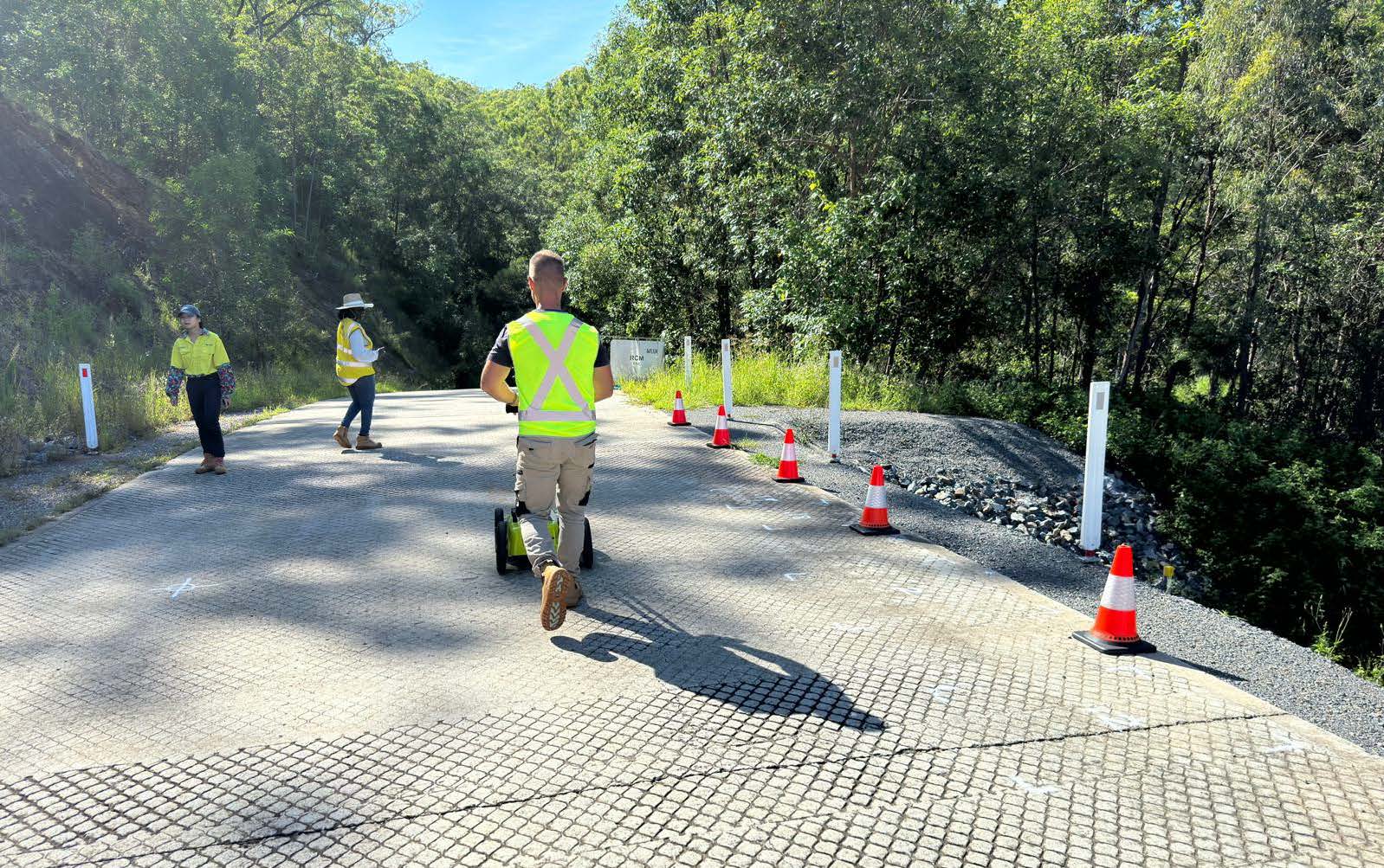
Many new-generation GPR systems are now equipped with AI-driven software that provides real-time feedback. That means technicians on-site can receive immediate, machine-assisted interpretations:
- Pipes and cables are automatically marked and colour-coded
- Depth estimates are generated instantly
- Layer boundaries are defined without manual tracing
- Voids or anomalies are highlighted in the field, not weeks later in post-processing
This shift is monumental. It enables faster decisions, reduces the risk of errors, and provides clearer data for clients, contractors, and engineers.
Case Example: AI in Reinforcement Mapping
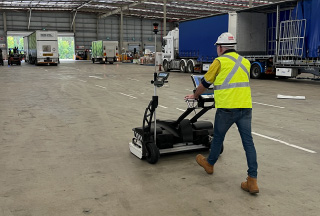
Let’s take reinforcement mapping in concrete slabs as an example. In the past, identifying rebar depth and spacing required manual trace-outs of hundreds of radargrams. With AI, the software recognises rebar patterns, calculates the cover, flags inconsistencies, and generates a 3D model in a matter of minutes. This helps:
- Save hours of manual work
- Improve report accuracy
- Assist clients in meeting code compliance and QA standards
- Avoid costly coring or drilling errors
Improving Training and Standardisation
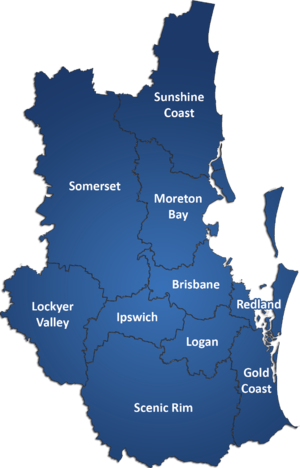
AI also levels the playing field. By reducing subjectivity in interpretation, junior technicians can achieve consistent results that were once limited to seasoned experts. This makes GPR more scalable, opening the door to wider adoption across the construction and infrastructure sectors. And since AI models are trained on massive datasets from global scan archives, they can standardise interpretation across varying conditions – be it sandy soils in Brisbane or dense clay in the Sunshine Coast hinterland.
Limitations and Human Oversight
It’s worth noting: AI isn’t perfect. Complex or novel site conditions can confuse models, and false positives can occur. That’s why human oversight remains critical. At South-East Scanning, we view AI as an assistant – not a replacement. Our trained GPR operators validate all automated findings and ensure that final interpretations are backed by context, experience, and field knowledge.
What This Means for Clients and Project Managers
If you’re managing a construction project, civil works job, or heritage site, AI-enhanced GPR means:
- Faster turnaround times
- Higher confidence in data
- Fewer mistakes and reduced rework
- More cost-effective decisions, informed by real-time data
In high-stakes environments like the Brisbane CBD, tight schedules leave no room for second-guessing. AI-enhanced GPR gives you the insight you need, faster than ever.
The Future of Smart Scanning
As AI continues to evolve, we expect GPR systems to become:
- Even more autonomous
- Capable of detecting deeper and more complex targets
- Fully integrated with BIM, CAD, and GIS platforms
- Adapted for drone-based and robotic systems
At South-East Scanning, we’re excited to be part of this evolution—combining expert fieldwork with cutting-edge software to deliver results that are faster, smarter, and safer.
Whether you’re planning a project in the Gold Coast, Brisbane, or Sunshine Coast, get in touch to see how intelligent GPR scanning can help you build with confidence.

