Client: Department of Transport and Main Roads (TMR)
Location: Therwine Street, near Kuranda Cemetery, Cairns QLD
Date: July 2024
Equipment Used: IDS Stream C GPR, RTK GNSS, Geolitix Software
Project Background
South-East Scanning was contracted by the Queensland Department of Transport and Main Roads (TMR) to conduct a ground penetrating radar (GPR) survey along Therwine Street, adjacent to the Kuranda Cemetery in Far North Queensland.
Due to the cultural sensitivity of the site and the potential for heritage impacts, TMR required a non-invasive subsurface mapping solution that could detect any unmarked graves, historical features, or buried infrastructure prior to planned works in the area.
Scope of Work
The goal was to map subsurface features to a depth of approximately 1.5 metres across the proposed work zone. Key targets included:
- Unmarked burial sites or grave shafts
- Structural remains related to prior cemetery use
- Utilities or infrastructure that may intersect with the road corridor
Given the terrain, vegetation, and cultural significance, the solution needed to be non-destructive, respectful, and spatially precise.
Methodology
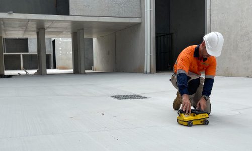
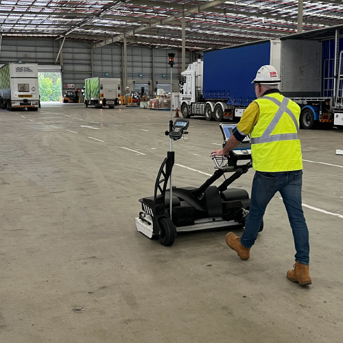
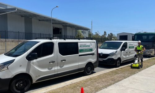
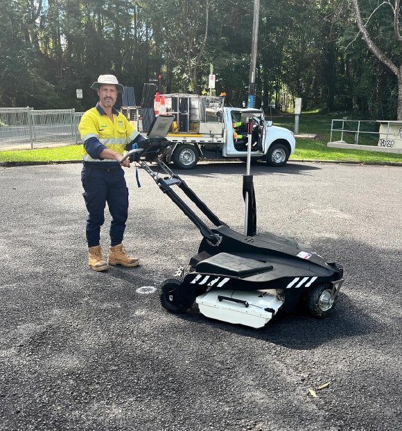
To meet TMR’s specifications, South-East Scanning deployed the IDS Stream C — a multi-channel, large-array radar system capable of capturing high-resolution data across wide areas with minimal disruption.
The following steps were undertaken:
- Survey control was established using RTK GNSS for accurate positional mapping
- Multiple swaths were collected to ensure comprehensive coverage, even in variable terrain
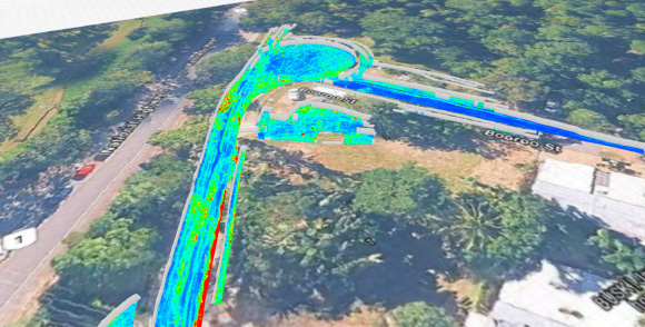
- Post-processing was completed using Geolitix, allowing depth slicing and anomaly classification across time windows
The Stream C’s high-density antenna array enabled detection of subtle subsurface features, including disturbed soil patterns and non-metallic anomalies that would be difficult to identify using conventional locating tools.
Findings
The GPR data revealed:
- Disturbed soil signatures in several grid-aligned patterns, consistent with historical burials
- Linear anomalies potentially indicative of past utility installations or drainage lines
- No high-risk or large-scale anomalies that would necessitate full site avoidance
Each anomaly was georeferenced and delivered as part of a digital map package and structured GPR interpretation report, enabling engineers and cultural heritage officers to proceed with confidence.
Outcome and Recommendations
This project demonstrated the power of GPR in culturally sensitive environments, offering a practical alternative to invasive exploratory works. The final deliverables allowed TMR to:
- Proceed with infrastructure planning while mitigating cultural heritage risk
- Inform Indigenous consultation and stakeholder engagement with physical evidence
- Document site conditions in a clear, spatially referenced format
We recommended light hand-excavation or coring in flagged zones for ground truthing, under cultural supervision where required.
Project Highlights
- Zero-disturbance approach aligned with cultural heritage requirements
- Seamless integration with GIS tools and stakeholder communication
- Delivered within a single mobilisation period
- Demonstrated large-array GPR effectiveness in subtropical, clay-heavy soil conditions
If you would like a hand with similar sounding projects to this one, we’d love to help out. Our friendly team will be in touch with you as soon as possible.