When it comes to ensuring the safety and success of construction and excavation projects, the expertise of a certified utility locator is indispensable. On the Sunshine Coast, from Pelican Waters, to Maroochydore and Noosa, South-East Scanning offers unparalleled utility locating and structural analysis services, ensuring that every dig is done right the first time.
Why Choose South-East Scanning?
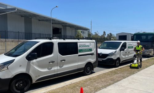
South-East Scanning is not just another utility locating firm; we are a team of certified locators accredited under the Dial Before You Dig service, providing peace of mind to our clients across the Sunshine Coast. Whether you’re planning a small residential project in Caloundra or a large commercial development in Mooloolaba, our services are designed to prevent damage to underground utilities, which can be costly and dangerous to repair. Our state-of-the-art technology and thorough knowledge of local geography enable us to detect and map out all types of underground services, from water and gas lines to electrical and telecommunications cables.
Our Services Across the Sunshine Coast
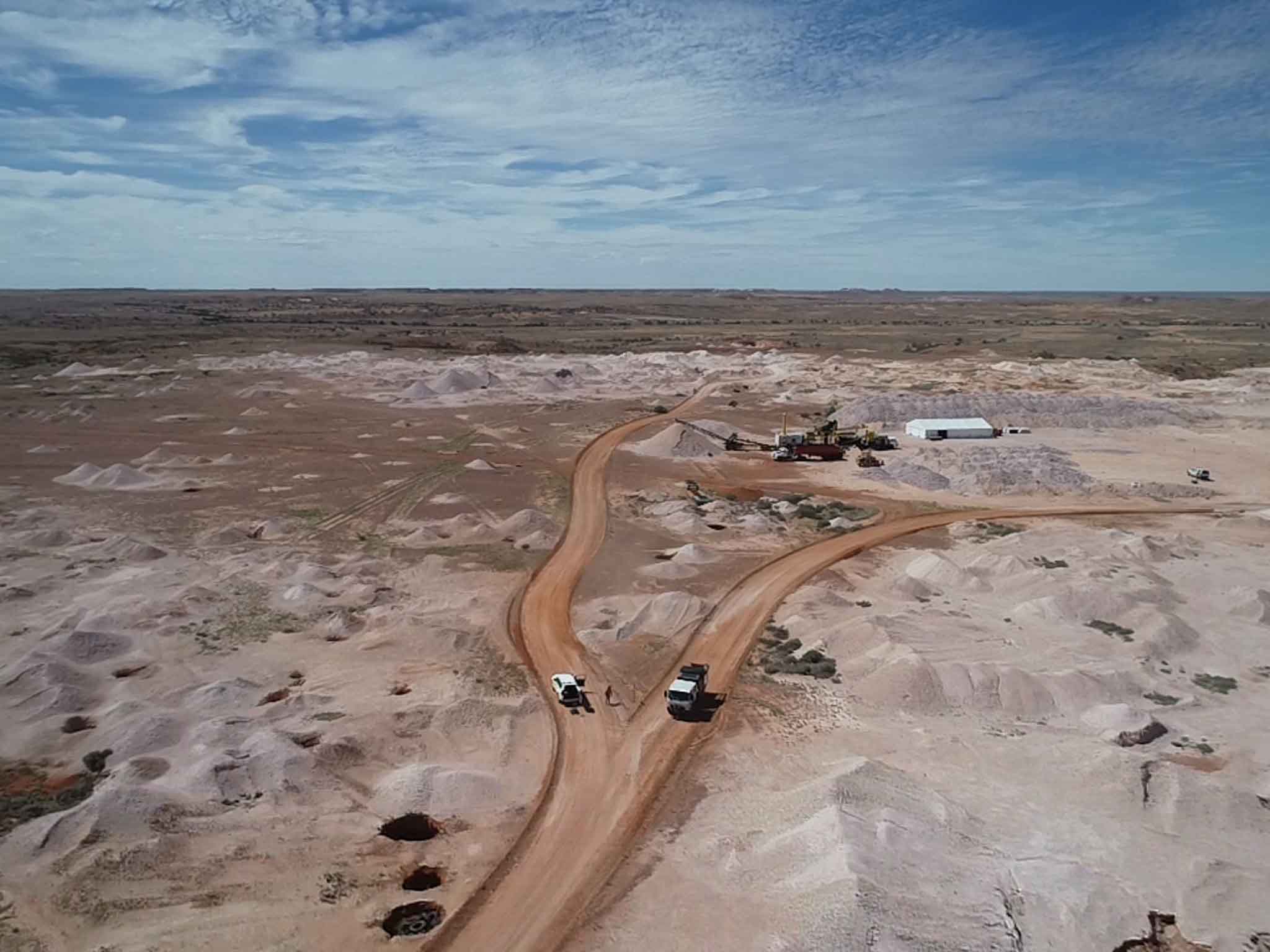
We understand that each area has its unique challenges and requirements. In Buderim, we frequently deal with densely packed residential areas where the precise location of utilities is crucial to avoid disruptions. Meanwhile, in Coolum Beach, we often work on larger properties where older, unrecorded services can be a significant risk factor. Our comprehensive range of services includes Ground Penetrating Radar (GPR) scanning, EMF detection, and detailed structural assessments to ensure the integrity of existing buildings and future constructions. No matter the location—be it the heritage-rich streets of Nambour or the developing zones of Kawana Waters—our team is equipped with the tools and expertise to provide detailed insights into the subsurface environment.
The Importance of Choosing a Certified Locator
Choosing a certified locator like South-East Scanning for your project on the Sunshine Coast is more than a precaution; it’s a necessity. Excavating without a clear understanding of what lies beneath the surface can lead to severed lines, interrupted services, legal consequences, and even personal injury. Our certification ensures that we adhere to the highest standards of safety and accuracy, providing reliable locates that minimise the risk of unexpected encounters with buried utilities. This certification also means we stay updated with the latest industry standards and technology advancements, offering our clients the most current and effective solutions available.

Applications of GPR in Flood Prevention & Management
1. Urban Drainage Planning
Effective stormwater management is crucial in cities like Brisbane, where rapid urbanisation has altered natural water flow. GPR can be used to:
✔ Assess soil saturation before new developments.
✔ Locate natural underground water channels that need redirection.
✔ Identify areas where water might pool under roads or pavements, preventing future subsidence.
2. Identifying Erosion and Sinkhole Risks
Heavy rainfall and underground water flow can erode soil, creating dangerous voids beneath roads, buildings, and public infrastructure. GPR scans help detect early signs of erosion, allowing councils and construction teams to reinforce weak areas before they collapse.
3. Monitoring Flood-Prone Areas
Some locations, particularly low-lying coastal areas, are naturally prone to flooding. GPR allows for regular monitoring of groundwater levels, helping predict when and where flooding might occur. This data enables engineers to:
✔ Design better flood barriers and retention basins.
✔ Improve stormwater drainage systems.
✔ Develop proactive flood warning systems based on subsurface water movement.
4. Assessing Infrastructure After Flooding
After a significant flood, GPR can assess the damage beneath the surface, checking for:
✔ Soil washouts that have left roads unstable.
✔ Damage to building foundations from prolonged water exposure.
✔ Blocked or shifted stormwater pipes needing repair.
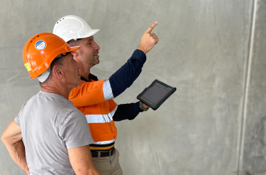
How South-East Scanning Helps in Flood Management
At South-East Scanning, we work with engineers, councils, and construction teams to provide detailed GPR scans that uncover hidden subsurface water risks. Whether it’s detecting underground drainage issues before a new development or assessing flood damage after heavy rains, our expertise ensures that critical decisions are based on accurate, real-time data.
We bring cutting-edge GPR technology to projects across Brisbane, the Sunshine Coast, and South East Queensland, helping create safer, more flood-resilient communities.
Conclusion
Flood management isn’t just about surface drainage—what’s happening underground is just as important. GPR is revolutionising flood prevention and mitigation by allowing engineers to see subsurface water movement without excavation.
From detecting hidden water channels to preventing erosion-related disasters, GPR is essential for modern flood management.
Are you planning a new development? Are you concerned about drainage issues? Contact South-East Scanning today, and let’s ensure your project is built on solid, flood-resistant ground.
Protecting communities, one scan at a time. 🌍🌊