Client: Douglas Partners
Location: Port of Brisbane, QLD
Date: 7 July 2025
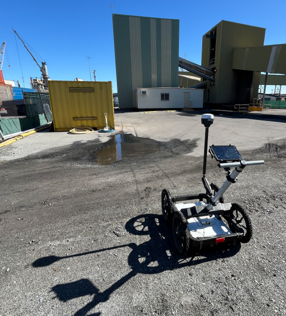
Equipment Used: Mala GX160 MHz Ground Penetrating Radar, Emlid Reach RS2 GNSS Receiver, Geolitix Software
Project Background
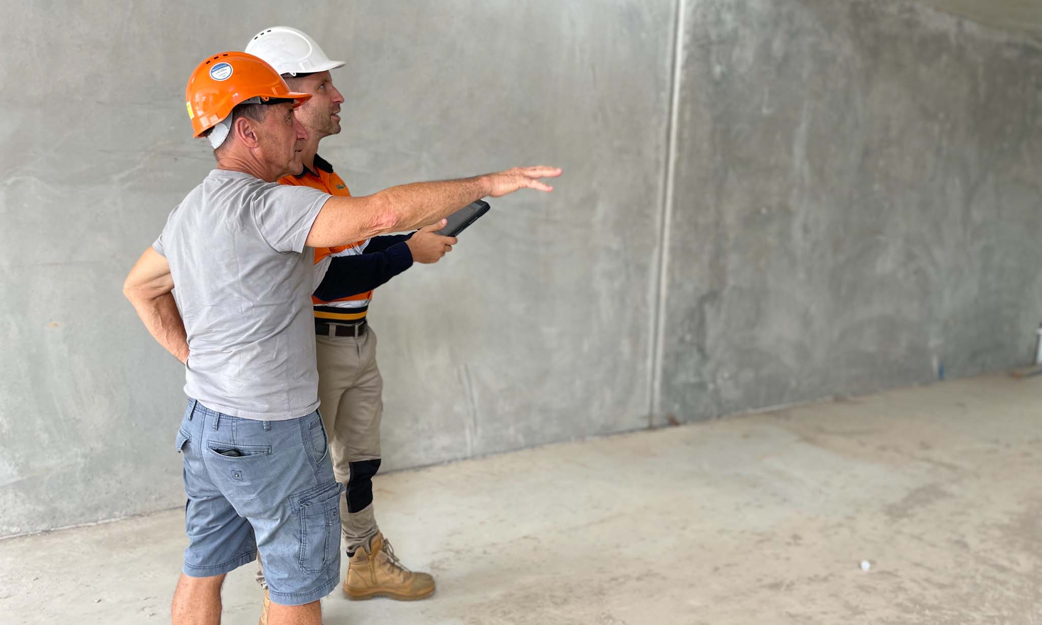
South-East Scanning was engaged by Douglas Partners to conduct a targeted ground penetrating radar (GPR) survey at the Port of Brisbane. The objective was to investigate suspected voiding or subgrade anomalies beneath reinforced concrete slabs in a critical heavy-duty pavement zone.
This project formed part of a broader geotechnical assessment relating to structural concerns in high-load freight and logistics areas, where pavement degradation or subsurface washout could compromise operational safety and long-term durability.
Scope of Work
The scope of this investigation was precise:
- Use deep-penetrating GPR to assess the integrity of the sub-base beneath concrete pavement
- Identify potential voids, erosion channels, or saturated fill zones
- Provide georeferenced output to enable follow-up coring or remediation
Unlike broader utility location or slab mapping surveys, this job required a focused geophysical interpretation of signal return strength, phase shifts, and subsurface material transitions.
Methodology
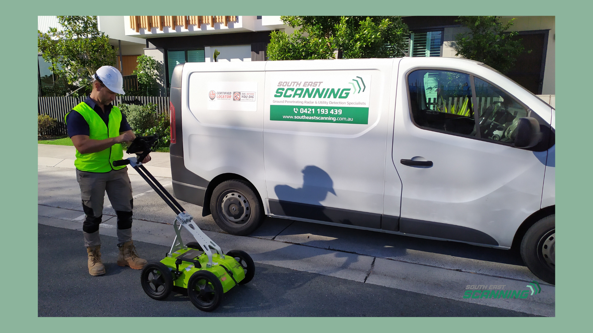
To ensure deep penetration and robust results, South-East Scanning used the Mala GX160 MHz GPR system, which is well-suited for detecting large features and changes in material density up to several metres deep.
Key steps included:
- Survey Control: Precise positioning was achieved using the Emlid Reach RS2 GNSS, enabling real-time kinematic (RTK) corrections for sub-decimetre accuracy
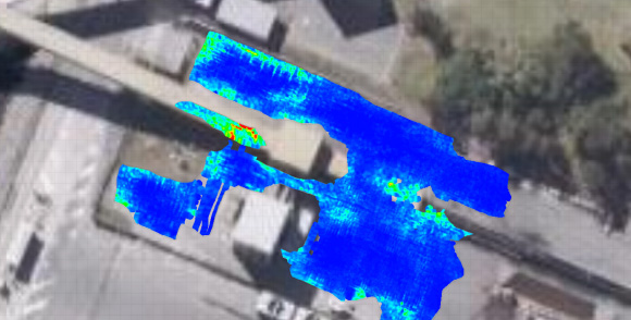
- Data Collection: A dense grid of longitudinal and transverse GPR passes across the affected slab area
- Post-Processing: Data processed in Geolitix with custom depth slices, amplitude gain adjustments, and interpretation overlays
The combination of low-frequency radar and high-accuracy GNSS allowed for detailed spatial correlation between scan anomalies and site layout.
Findings
The GPR data revealed the following:
- No conclusive evidence of major subsurface voids
- Zones of signal attenuation suggesting higher moisture content or low-density backfill in certain slab sections
- Variations in reflection amplitude consistent with layering irregularities and potential compaction differences beneath the slab
These findings aligned with previous core samples, supporting the hypothesis of generalised subgrade weakening rather than isolated voiding.
Outcome and Recommendations
The survey gave Douglas Partners a non-invasive, high-confidence assessment of the slab’s underlying condition. By ruling out active voids or sinkholes, the client was able to:
- Avoid unnecessary excavation or concrete removal
- Focus on targeted moisture monitoring and compaction remediation
- Strengthen ongoing asset management strategies at the port
Our structured report included annotated radargrams, georeferenced overlays, and interpretation commentary to support engineering decision-making.
Project Highlights
- Delivered within one working day, including field scanning and initial interpretation
- Used deep-penetrating GPR and RTK GNSS to achieve both depth and spatial accuracy
- Helped maintain operational continuity at a high-traffic logistics site
- Demonstrated the value of GPR for void detection in critical infrastructure zones
If you need assistance with your Brisbane projects, don’t hesitate to get in contact with us! We’d love to help you reach your project goals and avoid unnecessary setbacks.