


Not All Sewer Records Match Site Reality
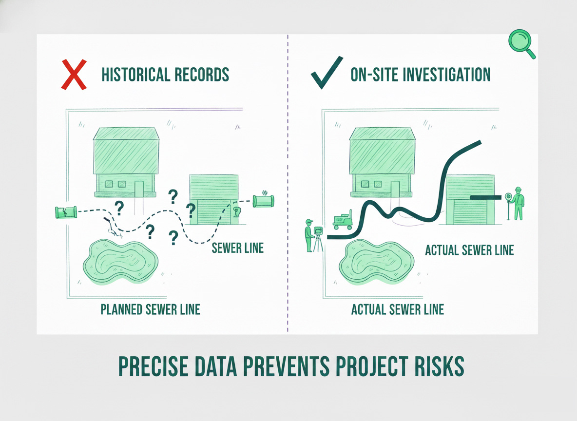
Many Queensland properties — particularly older residential properties across Brisbane — contain sewer infrastructure that is not accurately reflected in existing council or utility plans. A Before You Dig Australia enquiry provides historical records only — it does not physically confirm location, depth, or alignment on the ground.
When you are planning an extension, swimming pool, garage, or retaining wall near an existing sewer line, working from unverified plan data carries real risk. Engineers designing a build over sewer application need confirmed, on-site investigation data — not historical records that may reflect intended alignment rather than actual installed position.
South East Scanning assists homeowners, builders, and engineers with build over sewer investigations using a combination of electromagnetic utility locating and Ground Penetrating Radar. Our work confirms what is actually in the ground — giving your project the accurate foundation it needs before design, approval, and construction begins.
When Do You Need This?
- Planning a pool, extension, garage, or retaining wall
- Sewer line crosses your proposed build footprint
- Council requires a formal build over application
- Historical plans are incomplete or unavailable
- Your engineer has requested confirmed pipe location and depth
- Property is in an older Brisbane suburb with legacy infrastructure
Find Out in 60 Seconds
Answer a few quick questions about your project and we'll point you in the right direction.
Includes extensions, pools, garages, sheds, and retaining walls. If unsure, a BYDA enquiry is a starting point — it won't confirm exact location.

Confirmed means a physical on-site investigation — not utility plans or BYDA records. Pipe location and depth must be verified before an engineer can prepare a build over application.

Most Queensland councils require a formal build over sewer application if construction is proposed within 1m of a sewer or 5m of a manhole. Your engineer or certifier will be able to confirm the requirement for your specific project.
Plans must reflect the physically verified sewer location — not estimated lines from utility records. Council requires accurate, surveyed data in the application package.

Investigation Required
The sewer location and depth must be physically confirmed before your engineer can prepare the application. Historical plans alone are not sufficient — South East Scanning can confirm alignment and depth with same-day reporting.

Speak with Your Engineer
Whether a formal application is required depends on proximity to the sewer and your local council. Your engineer or certifier can confirm requirements. Either way, arranging an investigation early prevents delays and redesigns.
Proceed to Application
You have the verified data needed. Your engineer can prepare the build over application with confirmed alignment and depth in your plans. If you need additional reporting or a second-opinion investigation, we can assist.

No Immediate Concern
If your structure is clear of any sewer line, an investigation may not be required. If you're unsure whether a sewer crosses your property, confirming before construction is worthwhile. A BYDA enquiry is a starting point — on-site locating gives certainty.
What Can Go Wrong Without Accurate Sewer Location
Costly Redesigns
Discovering sewer location mid-design forces expensive plan amendments.
Council Rejection
Applications require verified sewer data — without it, council may refuse the application.
Excavation Strikes
Striking an unmarked sewer causes delays, repair costs, and compliance issues.
Inaccurate Legacy Plans
Older Brisbane suburbs frequently contain unrecorded combined or legacy sewer infrastructure. Physical locating is often the only reliable way to confirm what's in the ground.
Construction Delays
Unresolved sewer conflicts stall progress after trades are mobilised.
Engineer Liability
Relying on unverified records exposes engineers to unnecessary risk.
In Queensland, investigation is typically required before an engineer can begin the application. On-site sewer location data is the foundation of the approval process.
How a Build Over Sewer Investigation Works
Four stages — records review through to final reporting for your engineer and council.
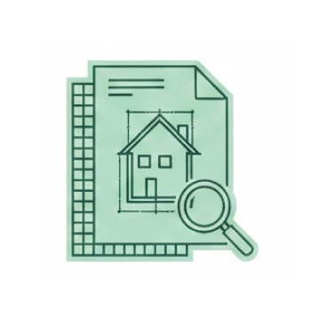
We obtain available utility records and assess existing council plans to establish expected sewer alignment — and identify where records are incomplete or potentially unreliable.
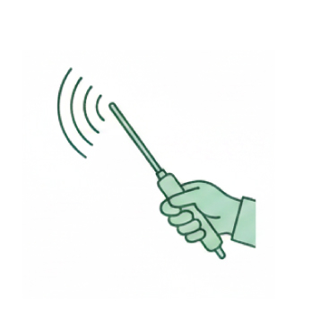
Electromagnetic utility locating equipment traces the sewer pipe alignment across the property, confirming horizontal position with physical on-site verification.
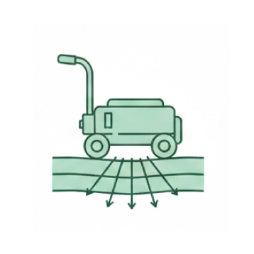
Ground Penetrating Radar confirms pipe depth and verifies position relative to proposed structures — particularly valuable for non-metallic pipes and complex subgrade environments.
All findings are documented in a clear investigation report — including confirmed alignment, depth data, and GPR results — ready for your engineer to use in the council application.
How We Locate and Verify Sewer Infrastructure
Each investigation follows a structured sequence — from initial records review through to final reporting. Click a step to explore what's involved.
BYDA & Records Review
Before fieldwork begins, we obtain available utility records and assess existing council plans to understand the expected sewer alignment. This establishes a baseline — and quickly identifies where records are incomplete, inconsistent, or potentially unreliable.
In older Brisbane suburbs, records may reflect intended alignment rather than actual installed position — and legacy infrastructure is sometimes not recorded at all.
- BYDA records reviewed and mapped
- Council plans assessed
- Gaps identified before site visit
- Scope confirmed from records
Records are a starting point — not a substitute for physical verification
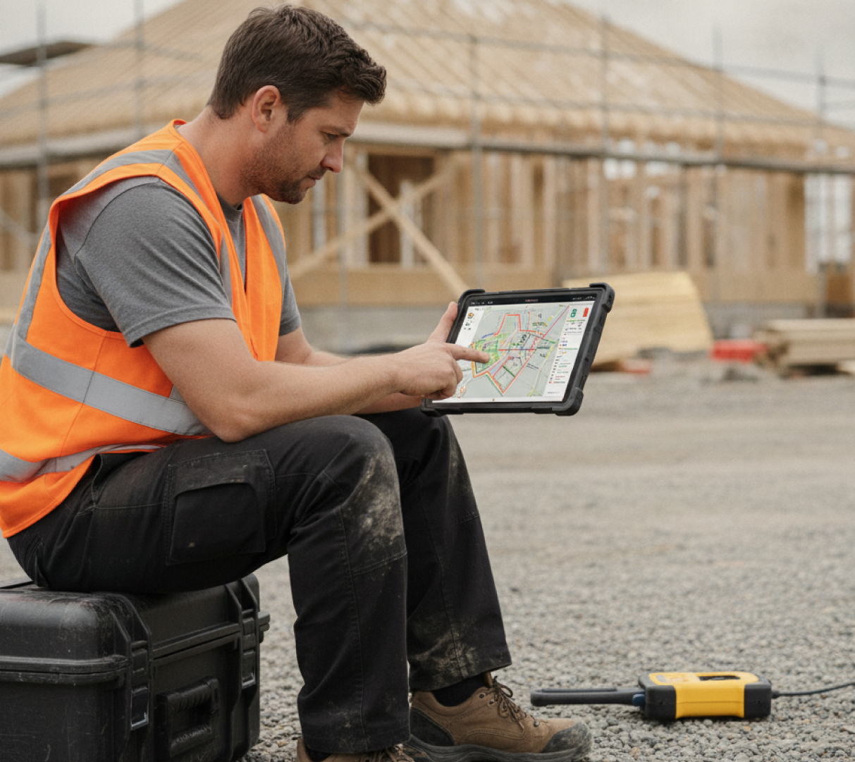
Electromagnetic Utility Locating
We use electromagnetic locating equipment to trace the sewer pipe alignment across the property. This method is highly effective for locating metallic pipes where a signal can be induced via access points such as manholes or inspection openings.
The result is confirmed horizontal alignment on the ground — not as intended on a plan drawn decades ago.
- Signal induced via accessible entry points
- Alignment traced and marked on site
- Horizontal position confirmed
- Cross-referenced against BYDA records
Works through lawns, driveways, and paved surfaces without excavation
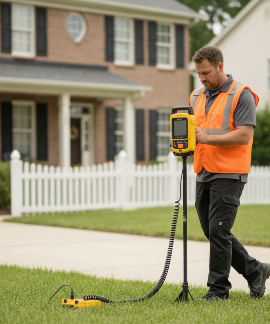
GPR Depth Verification
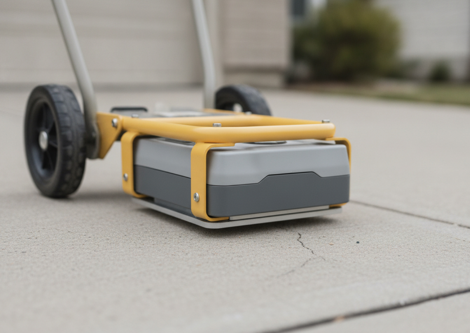
Ground Penetrating Radar complements electromagnetic locating by confirming pipe depth and verifying position relative to the proposed build footprint. GPR is particularly valuable where EM locating is limited — including non-metallic pipe materials and complex subgrade environments.
Depth data is critical for the engineer preparing your build over application. Without verified depth, the structural design cannot be confirmed.
- Depth confirmed at key points
- Non-metallic pipes located where possible
- Subgrade conditions assessed
- EM and GPR available in single site visit
Non-destructive — no excavation, no surface damage, results on site
Reporting for Council & Engineers
All investigation findings are documented in a clear, technically detailed report that your engineer can use directly when preparing the build over sewer application for council. Reports include confirmed alignment, depth data, and GPR findings where applicable.
Same-day reporting is standard. If your project is time-sensitive, discuss your timeline when booking.
- Confirmed alignment and depth documented
- Site photos and GPR data included
- Formatted for engineering and council submission
- Same-day reporting standard
Suitable for engineering design, council applications, and certifier review
EM locating and GPR are available in a single site visit — everything your engineer needs in one mobilisation.
The Technology Behind Accurate Sewer Locating
Electromagnetic Utility Locating
EM locating induces a signal into the sewer via a manhole or inspection opening. A surface receiver traces the pipe alignment, confirming horizontal position.
Learn more about our utility locating services. It is highly effective for metallic pipes and works through most surface types without excavation or surface damage.
Ground Penetrating Radar
GPR adds depth data and subsurface detail that EM locating cannot provide. EM confirms horizontal alignment — GPR confirms pipe depth. Our GPR scanning services use Proceq and IDS GeoRadar technology.
GPR is also valuable where EM locating is limited — including non-metallic PVC pipes and sites with no accessible induction point.
Why Sewer Plans Can't Be Trusted Alone
In many Brisbane utility locating projects, sewer infrastructure predates modern documentation standards. Plans may reflect intended alignment rather than actual position — some legacy systems were never documented.
- Plans may show intended — not actual — pipe alignment
- Legacy combined sewer infrastructure is often unrecorded
- Pipe realignments are not always reported back to utilities
What You Actually Get From Us
- Confirmed sewer alignment and depth — verified on site
- GPR depth data to support engineering assessment
- Documentation suitable for council build over application
- Identification of any legacy or unrecorded infrastructure
- Same-day reporting as standard
Build Over Sewer Questions Answered
-
A formal submission to your local council seeking approval to build within a specified distance of a sewer main. Most Queensland councils require this before issuing a building permit for structures within 1 metre of a sewer or 5 metres of a manhole. The application must show the construction will not adversely affect the sewer and that maintenance access is preserved.
-
In most cases, yes. Queensland councils typically require a formal application before a structure can be built within the setback distance from a sewer main or manhole. Requirements vary, so confirm with your local authority or a building certifier familiar with your area.
-
The general Queensland setback is 1 metre from the centreline of a sewer main and 5 metres from the edge of a maintenance hole. Setbacks vary by pipe diameter, depth, and council requirements. Some councils permit construction closer under a build over approval, with a formal application and engineer-reviewed investigation data.
-
Most applications require: confirmed sewer location and depth (from physical investigation); engineering plans showing the structure relative to confirmed alignment; a structural assessment; and sometimes a CCTV pipe inspection. South East Scanning provides the investigation component — confirmed alignment, depth data, and a report — for your engineer to prepare the application package.
-
Most councils will not accept plans or BYDA records alone for a build over application. Physical investigation is required — historical plans may not reflect the actual pipe position, particularly on older properties. An engineer relying on plan data alone takes on significant risk.
-
A standard residential investigation is typically completed in a single site visit of 1–3 hours. South East Scanning provides same-day reporting, meaning your engineer can receive the report the same day as the site visit — keeping your design and approval timeline on track.
-
More common than expected — particularly in older suburbs. If investigation reveals the sewer is in a different position than shown on plans, this must be reflected in your engineer's design before the application proceeds. Discovering a discrepancy at investigation stage is far less costly than discovering it mid-construction.
Ready to Confirm Your Sewer Alignment?
Whether you're in the early design stage or heading into a council application, our team can confirm what's actually in the ground — so your project moves forward with accurate, defensible data rather than records that may not reflect reality.
Investigations across Brisbane, Gold Coast, Sunshine Coast, Ipswich and regional Queensland. CERTLOC Certified. Same-day reporting.